Award-winning portal offers flood info in three easy steps
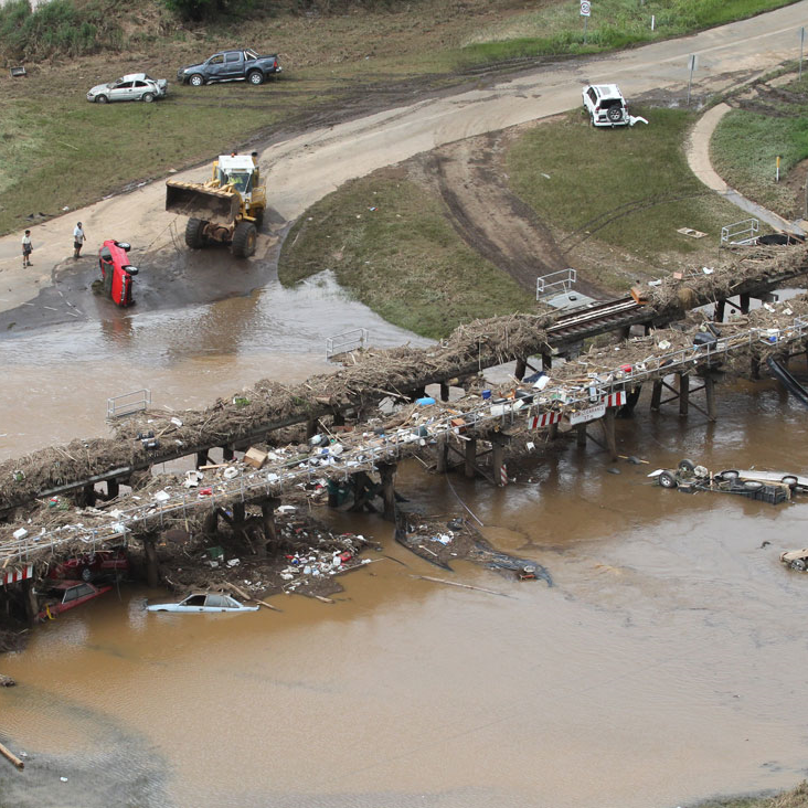
In early 2011, south-east Queensland’s normally tranquil and picturesque Lockyer Valley was thrown into turmoil by a devastating flood described as an ‘inland tsunami’.
The terrible impacts devastated the tight-knit community and left the region with an unwanted reputation of being easily susceptible to flooding.
That public perception saw a downturn in investment and became a significant drain on Lockyer Valley Regional Council’s limited resources as they simultaneously tried to meet increased demand for flood information from residents, homebuyers, insurers, developers and builders.
This situation prompted council to develop a manual information system of accurate flood information to help stimulate growth in the region once more.
Although the system gained industry recognition for reliability, its resource-intensive and time-consuming nature meant it quickly became unsustainable to manage.
Additionally, the system, which was designed as a temporary solution, was limited in the data it could provide.
With council receiving up to 60 flood report applications a month, and with the completion of each application averaging almost 3.5 hours, application turnaround times blew out to 20-plus days.
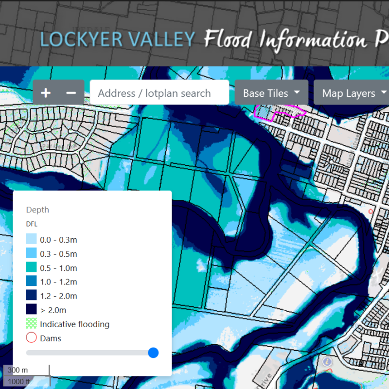
The solution? Council engaged Spatial Innovation, an agile Queensland mapping technology company, to design a modern, fit-for-purpose online Flood Information Portal (FIP) that provided accurate and detailed flood information.
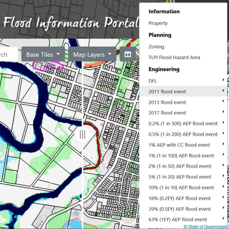
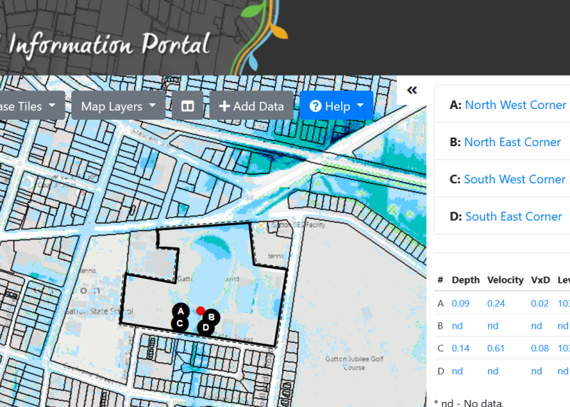
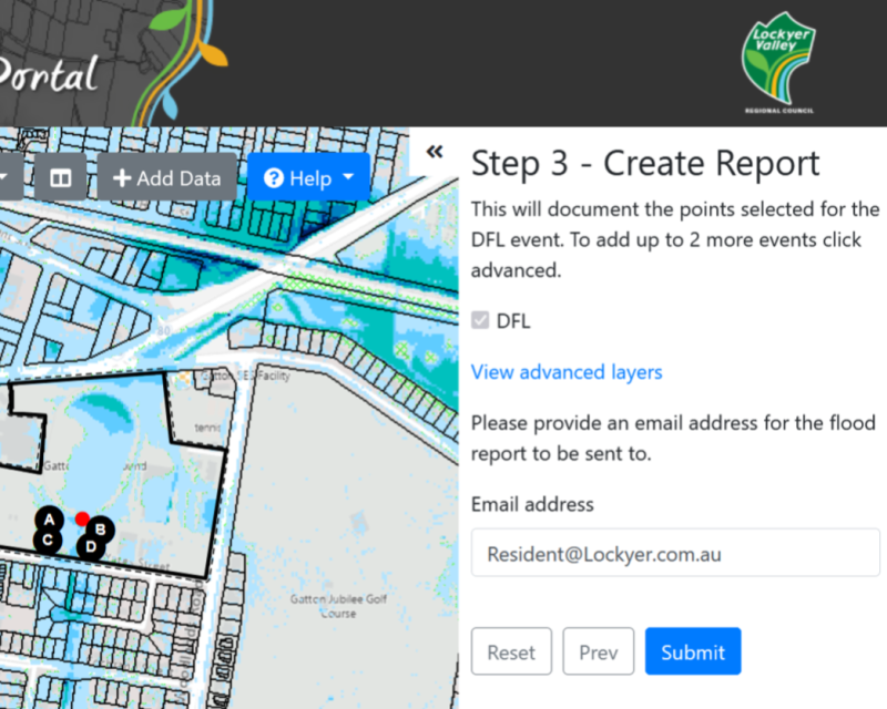
Having easy and efficient access to that information has improved flood risk and development outcomes for council and the community, with the FIP offering a simple three-step process to access flood reports, engaging visualisations, and streamlined delivery of internal reports for council assessment.
The flood reports generated by the FIP are available to the public for free, and the portal has eliminated the massive 20-plus day turnaround time of the previous reporting system, with reports generated and emailed out almost instantly.
Lockyer Valley Regional Council’s FIP is next level data delivery and the Spatial Innovation team is confident it will become the benchmark for council flood information distribution.
With the FIP’s ability to scale data either up or down and be adapted for use in other areas such as civil engineering and vegetation management, Spatial Innovation are now working to make the portal available to councils across Australia.
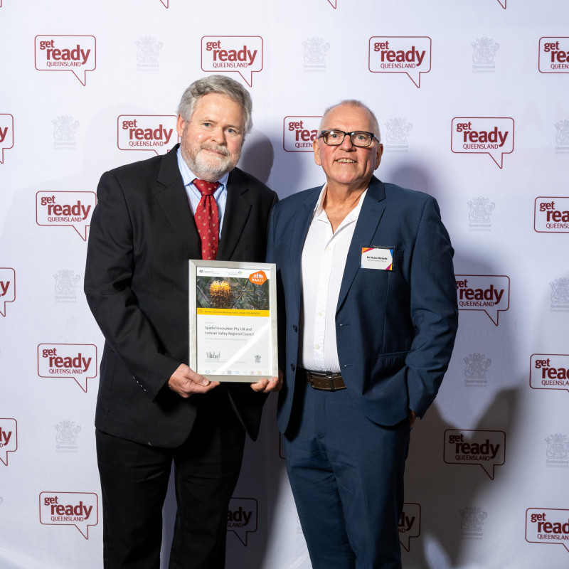
The success of the Flood Information Portal collaboration between Lockyer Valley Regional Council and Spatial Innovation was recognised with a Highly Commended award in the Business category at the 2024 Queensland Resilient Australia Awards.
The awards, an initiative of the Australian Institute for Disaster Resilience, in partnership with Get Ready Queensland and Suncorp, recognise the important role locally led organisations play in communities when faced with natural disasters.
