Maps
QRA designing, analyses and maintains the following spatial data products to support decision making for disaster recovery and resilience.
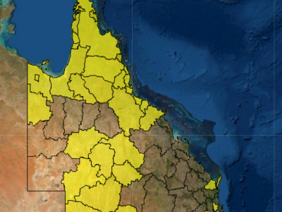
Search DRFA activations by disaster year, event, council, eligible recipient, or assistance measure.
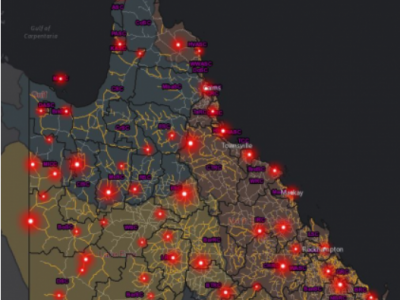
Helps Queensland councils better understand their risk, costs and repeat damage from natural disaster events.
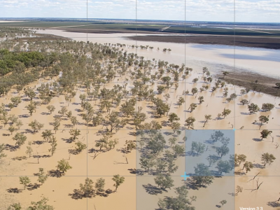
A suite of catchment maps which capture extensive local knowledge of the dynamics of the catchment landscapes - for areas in South West and Central West Queensland.
Other resources
FloodCheck provides information on flood plains, modelled and historic flood maps, imagery and reports, and is managed by the Queensland Department of Resources.


