Bedourie levee holds fast during floods
“For the rain never falls on the dusty Diamantina.” Or so sang Australian bush balladeers Redgum in their immortal 1983 classic, ‘The Diamantina Drover’.
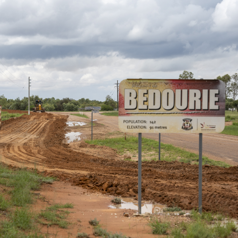
But as the 150 residents of Bedourie can tell you, that’s not exactly true, with the western Queensland township enduring five major floods over the past six years.
Sitting on the banks of the usually dry Eyre Creek in outback Channel Country, Bedourie is one of Queensland’s most remote communities, lying about 1,600 kilometres west of Brisbane.
When the nearby Georgina River floods, the small town, at an elevation of only 91 metres above sea level, can become isolated for weeks or even months at a time.
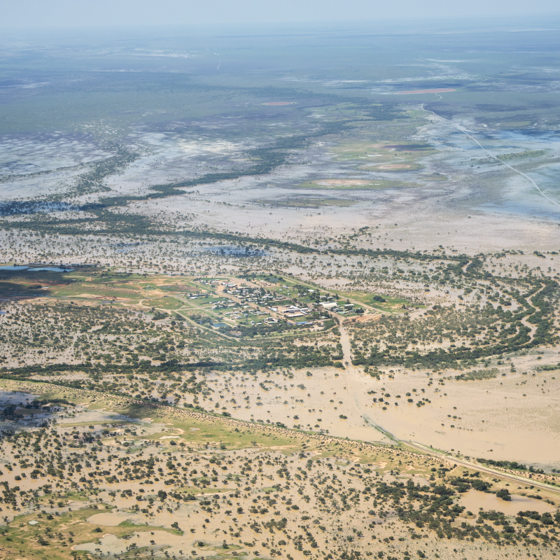
This is why, back in 1996, Diamantina Shire Council had the forward vision to put in place a structurally sound levee bank that protects Bedourie from floodwaters entering the town.
The earthen levee provides a substantial line of defence from surging floods that can quickly spread out across the surrounding region.
When viewed from the air during times of flooding, Bedourie looks like an island in an inland sea.
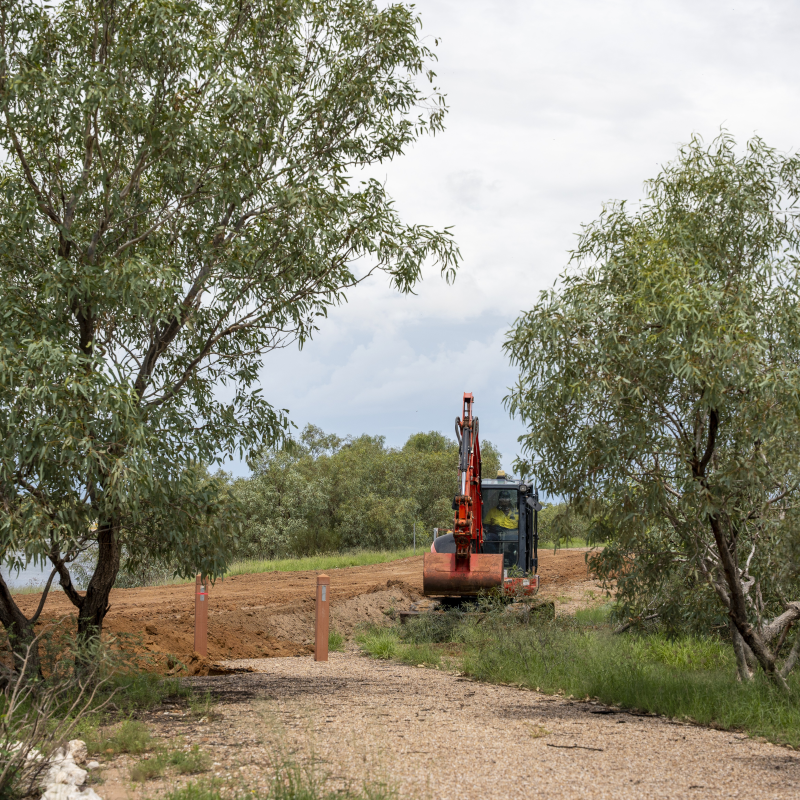
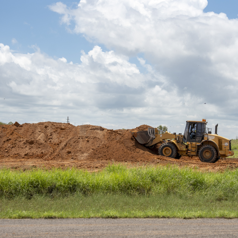
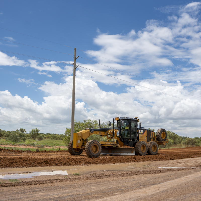
Council regularly inspects the levee and carries out maintenance works ahead of anticipated flood events to raise and reinforce identified low areas, ensuring the highest level of protection for residents.
Bedourie's levee was made possible with funding from the Australian and Queensland Governments’ Natural Disaster Relief and Recovery Arrangements (NDRRA).
This disaster funding arrangement between the Commonwealth and states and territories foreshadowed the current Disaster Recovery Funding Arrangements (DRFA), administered locally by the Queensland Reconstruction Authority (QRA).
The levee is a great example of how foresight and an adaptive approach to local disaster mitigation needs can provide long-term benefits for communities.
It illustrates there's no one-size-fits-all approach to resilience, and reminds that what works for one part of the state may not be the most effective approach in other areas with different risk profiles.
Another rural Queensland community experiencing enhanced flood protection due to a levee is Goondiwindi.
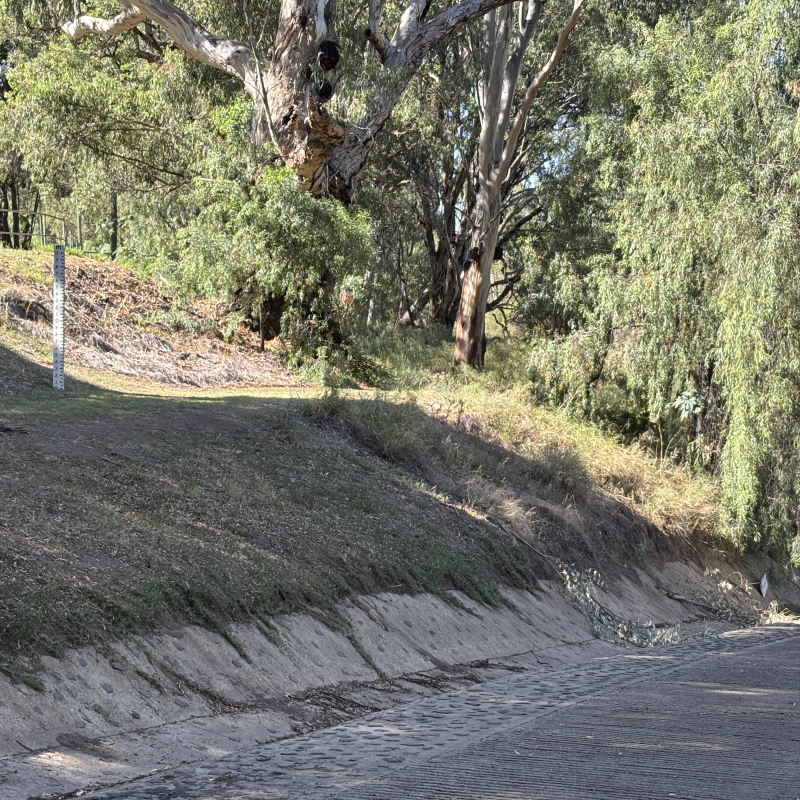
For the past 70 years, the levee on the banks of the Macintyre River has protected the southern Queensland town from more than 50 major floods.
Acknowledging the levee as one of Goondiwindi's most vital strategic assets, QRA has recently approved close to $70 million in restoration works through the DRFA to repair and reinforce critical sections of the levee following erosion from recent flooding.
Putting the work in now to restore and strengthen the levee will protect residents, homes and the local economy for future generations.
Earthen levees may not be feasible for more populated towns and cities with different topography, but for Bedourie and Goondiwindi they provide the protection needed.
And while a breach of these levee banks is considered unlikely, both councils have contingency plans in place.
If evacuations are needed, Bedourie residents know to gather at the local airport where they can be airlifted to safety, while Goondiwindi Council will stand up an evacuation centre at the town's showgrounds.
This is what adapting for enhanced disaster resilience looks like, built on strong foundations, local ingenuity, and flexibility of approach.