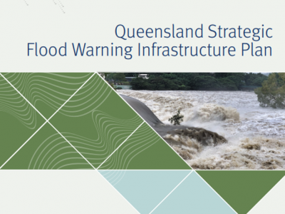
Flood Warning Infrastructure Network
On this page:
About Queensland's Flood Warning Infrastructure Network (FWIN)
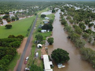
Early warning can be an effective measure to reduce the potentially devastating impacts of flooding, so it is vital that we work together for the best possible flood warnings. In Queensland, we have more than 3300 rainfall and river gauges that inform statewide flood warnings and forecasts. These flood warning infrastructure assets are owned and operated by more than 60 entities including state and local government, the private sector, and the Bureau of Meteorology.
Links to the various components of the Queensland’s FWIN are provided below with additional details on the strategic role of the Queensland Reconstruction Authority (QRA) and FWIN, funding available through the Emergency Response Fund, the Bureau of Meteorology’s Scoping Study, and historical investment.
Strategic approach, investment and funding
Learn about our approach to supporting communities to better prepare and respond to flood events, and improve community resilience to flood events, through development of a best practice network of flood warning gauges.
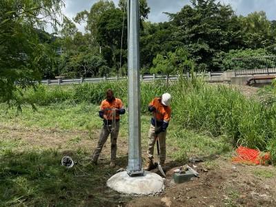
The $7 million Emergency Response Fund (ERF) Flood Warning Infrastructure Network (FWIN) program is supporting best practice flood warning infrastructure following the 2022 flood events for 23 eligible councils.
In 2023, the Australian Government allocated $236 million over 10 years from 2023–24 to remediate high priority flood warning infrastructure and address critical reliability risks across Australia.
Learn about Queensland's FWIN investments, and how we're working together to deliver on regionally focused Masterplans for flood warning infrastructure.
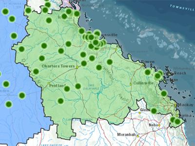
In 2021-2022, 180 new flood warning infrastructure assets were delivered for 28 councils as part of the $8 million FWIN project and these are now operational and benefiting communities of the Far North, North West and Townsville and surrounds.
Asset types, standards and guidelines, and flood classifications
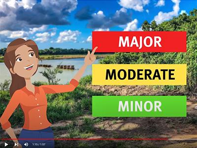
Learn about rain and river gauges, flood warning cameras, and flood warnings signs. Watch educational videos to understand how flood warnings in Queensland work and how the different types of flood warning infrastructure function.
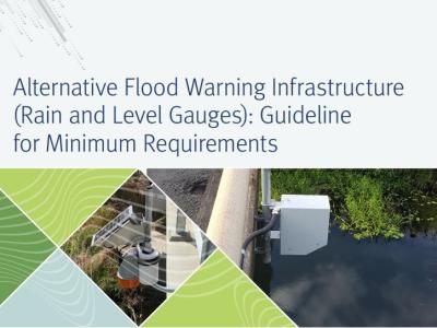
Learn about Flood Warning Network Infrastructure (FWIN) standards, guidelines for rain and river gauges, flood cameras and signs, and the minimum requirements guideline for alternative flood warning infrastructure.
Best practice guide for local governments to understand flood classifications, river heights and flood forecasts, gauges, flood warnings and how to set flood classifications
Working together
Watch video case studies to learn how QRA is working with owners of flood warning infrastructure to ensure we get the best possible warnings of future floods.